“Spectacular scenery unlike any
other in the Northeast.”
| Massawepie Lake near Gale |
| Tupper Lake Tinman Triathalon |
| Scenic Overlook on Piercefield Flow |
| Polliwog Pond Canoe Access |
| Deer Pond Loop and Fernow Forest |

Explore by interest:
 VIEW AREA MAPS Maps of the region to view or print.
Area Maps
 LOOKING for more information on Where to Stay and Where to Dine?
Plan Your Stay
 CARING for our favorite natural and recreational resources - See the new guide
Invasive Species Alert
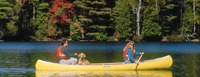
A Paddlers' Paradise is one description of the northern New York area accessed via the Adirondack North Country Scenic Byways
Western Access to the High Peaks Wilderness Area
Olympic Byway, State Rt. 3, near Tupper Lake in Franklin County
This is the largest Adirondack wilderness area, located in three counties, six towns, with a variety of topography, that is predominantly high mountain country.
In broad terms, this wilderness is bounded on the west by Long Lake and the Raquette River. However this particular location is noted for its being near a major thoroughfare, Route 3 between Saranac Lake and Tupper Lake, and at the locally renowned Coreys Road with access to some very wild country that also includes the northern section of the Northville-Placid Trail. Coreys Road starts roughly 5.25 miles of road that begins as a paved surface, quickly becoming hard-packed dirt along Stony Creek Ponds. One route crosses a metal bridge over the outlet of Stony Creek Ponds and passes a trailhead parking area on the right. The rest of the ride parallels Ampersand Brook and travels through mixed hardwood forest and low bog area. The trail then comes to a second trailhead parking area, ending at a gate where private lands begin.
| Closest Community: | |
| Nearby Communities: | Saranac Lake |
| Closest Byway: | Olympic Byway |
| Distance from Byway: | remote |
| Closest Route #: | State Rt. 3 |
| Months Occurring: | january, february, march, april, may, june, july, august, september, october, november and december |
| Best Season: | spring, summer, fall and winter |
| Indoors or Outdoors: | outdoor |
| Admission Fee: | no |
| Latitude: | 44.2277664464 |
| Longitude: | -74.3174208034 |


