![]()
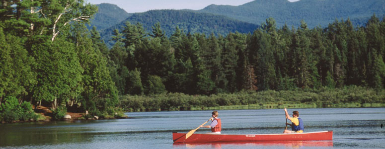
“Spectacular scenery unlike any
other in the Northeast.”
| Historic Niccolls Memorial Church |
| Bald Mountain Fire Tower |
| TOBIE Pedestrian and Bike Path, Old Forge |
| Historic Hemmer Cottage |
| Old Forge Beach and Tennis Courts |

Explore by interest:
 VIEW AREA MAPS Maps of the region to view or print.
Area Maps
VIEW AREA MAPS Maps of the region to view or print.
Area Maps
 LOOKING for more information on Where to Stay and Where to Dine?
Plan Your Stay
LOOKING for more information on Where to Stay and Where to Dine?
Plan Your Stay
CARING for our favorite natural and recreational resources - See the new guide
Invasive Species Alert

Town of Webb surrounding the Old Forge area is a land of lakes and what a great way to see what the Adirondacks are all about
Old Forge Dam
Central Adirondack Trail, State Rt. 28, near Old Forge in Herkimer County
The historic first dam was established by tract owner John Brown in 1798. The dam was taken over by NYS in the 1880s and has been rebuilt several times since.
The dam at Old Forge holds back 6.8 billion gallons of water. This reservoir is managed by the Hudson River-Black River Regulating District. The North branch of the Moose River joins the Middle Branch below the dam. The river then flows past the town of Lyons falls to the Black River. In the late 1800s, the State Water Power Commission made an agreement with Fulton Chain cottage owners and recreational users to maintain the water level during the summer season, an agreement still in effect.
| Closest Community: | |
| Closest Byway: | Central Adirondack Trail |
| Distance from Byway: | on |
| Closest Route #: | State Rt. 28 |
| Indoors or Outdoors: | outdoor |
| Admission Fee: | no |
| Latitude: | 43.7127507652 |
| Longitude: | -74.9693727493 |