“Spectacular scenery unlike any
other in the Northeast.”
| The Wild Center |
| Raquette River Trailhead |
| Indian Carry to Upper Saranac Lake |
| East Pine Pond Boat Access |
| Fish Creek NYSDEC Campground |

Explore by interest:
 VIEW AREA MAPS Maps of the region to view or print.
Area Maps
 LOOKING for more information on Where to Stay and Where to Dine?
Plan Your Stay
 CARING for our favorite natural and recreational resources - See the new guide
Invasive Species Alert
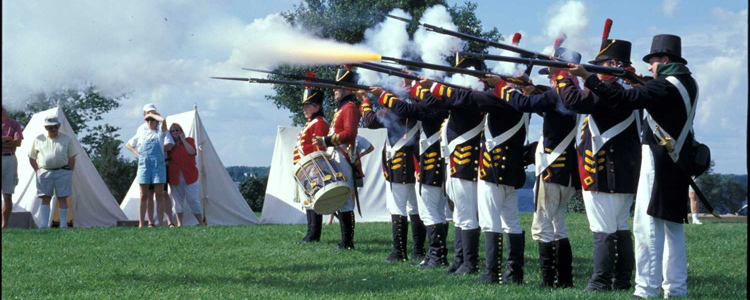
Sackets Harbor became the center of American military activity for western NY during the War of 1812 and now has this beautiful historic site on Lake Ontario, at the terminus of the Olympic Byway
High Peaks Wilderness Area
Olympic Byway, County Rt. 3, near Tupper Lake in Franklin County
This is the largest wilderness area and is located in six towns and three counties; a considerable variety of topography that is predominantly high mountain country.
The High Peaks Wilderness is the best known wilderness of the Adirondacks; it is the state's largest wilderness and receives the most visitation. While its topography varies considerably, the area is predominantly high mountain country, containing many of New York's highest peaks. The primary attraction is Mount Marcy, the state's highest peak at an elevation of 5,344 feet. Road access is possible from all sides of the wilderness area. It is possible to reach the western portion by canoe or kayak from Long Lake and the Cold River. Note: The High Peaks can receive extremely heavy use during weekends and holidays. Many NYS regulations exist, so prepare accordingly. Do not attempt any trips in the High Peaks without current USGS topographic maps and/or a good guidebook for the area.
| Closest Community: | |
| Nearby Communities: | Saranac Lake |
| Closest Byway: | Olympic Byway |
| Distance from Byway: | remote |
| Closest Route #: | County Rt. 3 |
| Months Occurring: | january, february, march, april, may, june, july, august, september, october, november and december |
| Best Season: | spring, summer, fall and winter |
| Indoors or Outdoors: | outdoor |
| Admission Fee: | no |
| Latitude: | 44.1624096684 |
| Longitude: | -74.259597488 |


