“Spectacular scenery unlike any
other in the Northeast.”
| Fish Creek NYSDEC Boat Access |
| Panther Mountain |
| Indian Carry to Upper Saranac Lake |
| Bog River Falls |
| Fernow Forest Wawbeek Plantations Trailhead |

Explore by interest:
 VIEW AREA MAPS Maps of the region to view or print.
Area Maps
 LOOKING for more information on Where to Stay and Where to Dine?
Plan Your Stay
 CARING for our favorite natural and recreational resources - See the new guide
Invasive Species Alert
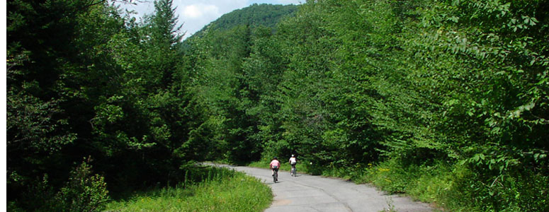
The former main route is now a scenic and pleasant bike ride along these upper reaches of the Sacandaga River and connects to the Speculator Bike Loop trails, near the Adirondack Trail
Little Clear Pond Canoe Access
Adirondack Trail, State Rt. 30, near Tupper Lake in Franklin County
Part of the Saint Regis Canoe Area, a half-hour paddle across the Little Clear Pond brings a paddler to the carry trail to St. Regis Pond.
Waterway access to the start of the "Nine Carries" canoe and kayak route is from the Adirondack Fish Hatchery on the northern side of Route 30, southwest of Lake Clear. A dirt truck road turns right off of the Fish Hatchery road. Bear right for the launch area. From this pond, you may carry to additional waterways, including St. Regis Pond, Grass Pond or Green Pond. There is no camping allowed on Little Clear, because the water is used by the Fish Hatchery.
| Closest Community: | |
| Nearby Communities: | Saranac Lake |
| Closest Byway: | Adirondack Trail |
| Distance from Byway: | near |
| Closest Route #: | State Rt. 30 |
| Best Season: | spring, summer and fall |
| Indoors or Outdoors: | outdoor |
| Admission Fee: | no |
| Latitude: | 44.354158158 |
| Longitude: | -74.2920029723 |


