“Spectacular scenery unlike any
other in the Northeast.”
| Waterfront Park and Walkway |
| Northern Forest Canoe Trail |
| Bluff Point on Tupper Lake |
| Raquette River Canoe Trail |
| Moosehead Mountain near Childwold |

Explore by interest:
 VIEW AREA MAPS Maps of the region to view or print.
Area Maps
 LOOKING for more information on Where to Stay and Where to Dine?
Plan Your Stay
 CARING for our favorite natural and recreational resources - See the new guide
Invasive Species Alert
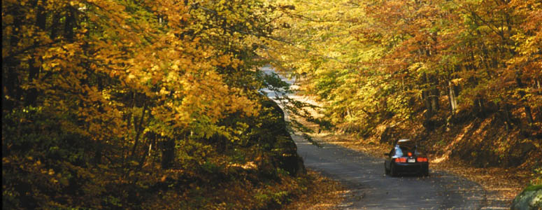
Autumn is a great time for a drive along the Adirondack Scenic Byways of northern New York
Upper St. Regis Lake NYSDEC Boat Launch
Adirondack Trail, State Rt. 30, near Tupper Lake in Franklin County
Highly recommended as part of the historic Route of the Seven Carries, running between Little Clear Pond and Upper St. Regis Lake.
Welcome to the St. Regis Canoe Area, where one can camp as you go, or do a day trip. There are numerous primitive campsites throughout the Canoe Area available on a first come basis. Small boat access to Upper St. Regis Lake is from a small town launch at Upper St. Regis Landing, just off Route 30, between Paul Smiths and Lake Clear, off St. Regis Carry Road. Motor boats are not permitted on these waters, and there are many private properties along the shoreline.
| Closest Community: | |
| Nearby Communities: | Saranac Lake |
| Closest Byway: | Adirondack Trail |
| Distance from Byway: | near |
| Closest Route #: | State Rt. 30 |
| Indoors or Outdoors: | outdoor |
| Admission Fee: | no |
| Latitude: | 44.3974804574 |
| Longitude: | -74.2691675735 |


