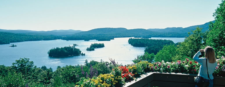
“Spectacular scenery unlike any
other in the Northeast.”
| Meadowbrook NYSDEC Campground in Ray Brook |
| Middle Saranac Lake Beach Trail |
| Saranac River Canoe Launch and Fishing Access |
| Saranac Laboratory |
| Middle Saranac Lake NYSDEC Boat Access |

Explore by interest:
 VIEW AREA MAPS Maps of the region to view or print.
Area Maps
 LOOKING for more information on Where to Stay and Where to Dine?
Plan Your Stay
 CARING for our favorite natural and recreational resources - See the new guide
Invasive Species Alert
Also near both the Adirondack Trail and Central Adirondack Trail is Blue Mountain Lake, one many lakes along the Scenic Byways
Ampersand Mountain NYSDEC Trailhead
Olympic Byway, State Rt. 3 and State Rt. 86, near Saranac Lake in Franklin County
Ascend over 1700 feet to experience some of the most breathtaking views in the Adirondacks on Ampersand Mountain.
The Saranacs and countless ponds lie to the north and northeast of Ampersand Mountain. Little Ampersand Lake lies close by and to south and southeast stretch all the highest ranges, the Great Range, the MacIntyres, Santanoni, the Sewards and all of the lesser mountains in the area. The summit is bare affording a phenomenal 360 degree view of the High Peaks Region.
| Closest Community: | |
| Nearby Communities: | Tupper Lake |
| Closest Byway: | Olympic Byway |
| Distance from Byway: | on |
| Closest Route #: | State Rt. 3 and State Rt. 86 |
| Best Time: | summer time, followed by a swim in Middle Saranac, not far from the trailhead |
| Scenic View: | panoramic view, Middle and Upper Saranac Lakes to the north and the High Peaks to the south |
| Indoors or Outdoors: | outdoor |
| Admission Fee: | no |
| Latitude: | 44.2395293877 |
| Longitude: | -74.2435838282 |


