![]()
“Spectacular scenery unlike any
other in the Northeast.”
| Malone Memorial Recreation Park |
| Canoe Access to Deer River Flow |
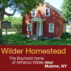
| Wilder Homestead |
| Picnic Area/Boat Access to Meacham Lake |
| Arsenal Green Park |

Explore by interest:
 VIEW AREA MAPS Maps of the region to view or print.
Area Maps
VIEW AREA MAPS Maps of the region to view or print.
Area Maps
 LOOKING for more information on Where to Stay and Where to Dine?
Plan Your Stay
LOOKING for more information on Where to Stay and Where to Dine?
Plan Your Stay
CARING for our favorite natural and recreational resources - See the new guide
Invasive Species Alert

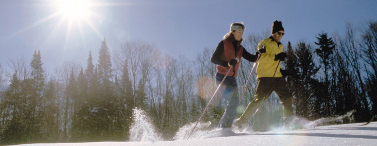
Wintertime is a great time to explore the trails and x-country ski areas along the Scenic Byways of northern New York
Salmon River Fishing/Canoe Access
Adirondack Trail, State Rt. 30, near Malone in Franklin County
This is the river that winds its way northward through Malone, over the border, and into the St. Lawrence River.
Access point shown is along Studley Hill Road, reachable by leaving Route 30, south of Malone, at Lake Titus, and taking Route 41, or Fayette Road. Proceed along Route 41 for several miles to the Studley Hill Road intersection just before a bridge. Turn south and continue for roughly a mile. The river is a wide, meandering and flatwater body in this quadrant.
| Closest Community: | |
| Closest Byway: | Adirondack Trail |
| Distance from Byway: | remote |
| Closest Route #: | State Rt. 30 |
| Months Occurring: | may, june, july and august |
| Best Season: | summer |
| Scenic View: | pastoral river views |
| Indoors or Outdoors: | outdoor |
| Admission Fee: | no |
| Latitude: | 44.7360906414 |
| Longitude: | -74.2144762931 |