![]()
“Spectacular scenery unlike any
other in the Northeast.”
| Indian Lake Museum |
| Rock Lake NYSDEC Fishing & Nature Trail |
| Indian Lake Public Library |
| Snowy Mountain NYSDEC Trailhead |
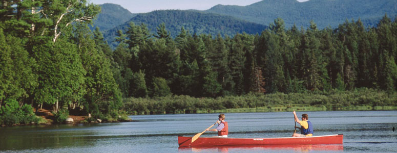
| Lake Adirondack |

Explore by interest:
 VIEW AREA MAPS Maps of the region to view or print.
Area Maps
VIEW AREA MAPS Maps of the region to view or print.
Area Maps
 LOOKING for more information on Where to Stay and Where to Dine?
Plan Your Stay
LOOKING for more information on Where to Stay and Where to Dine?
Plan Your Stay
CARING for our favorite natural and recreational resources - See the new guide
Invasive Species Alert

Town of Webb surrounding the Old Forge area is a land of lakes and what a great way to see what the Adirondacks are all about
Cedar River Snowmobile Crossing
Central Adirondack Trail, State Rt. 28 and County Rt. 12, near Indian Lake in Hamilton County
Approximately seven and three-tenths miles from the outlet of Cedar Lakes to a point where a road crosses the river approximately one and one-half miles upstream of Cedar River flow.
Hamilton County has over 750 miles of groomed snowmobile trails for riding - the biggest trail system in the state. The Cedar River is a 27 mile (43 km) long river in the central Adirondacks, in the town of Lake Pleasant near the hamlet of Indian Lake in Hamilton County, New York. It flows northeast, from the Cedar Lakes, through the Cedar River Flow, to join the Hudson River northeast of the hamlet of Indian Lake. Near Reference Marker 28-2209-1355.
| Closest Community: | |
| Closest Byway: | Central Adirondack Trail |
| Distance from Byway: | near |
| Closest Route #: | State Rt. 28 and County Rt. 12 |
| Months Occurring: | january, february, november and december |
| Best Season: | winter |
| Indoors or Outdoors: | outdoor |
| Admission Fee: | no |
| Latitude: | 43.7854789954 |
| Longitude: | -74.3037986755 |